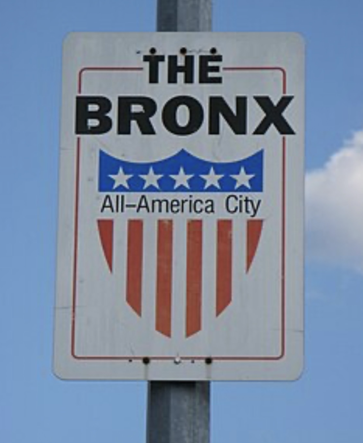

The history and toponymy of the Bronx serve as an open-air archive of New York City, where street names, bridges, avenues, and even everyday road signs preserve the memory of people and monumental urban transformations. From Jonas Bronck, the namesake of the borough, to the grand Grand Concourse, every detail of the urban landscape has a story to tell. In this article on i-bronx.com, we explore who Jonas Bronck really was, how Bronx toponymy took shape, why the Grand Concourse became one of the borough’s most iconic urban projects, how NYC’s street signs evolved over the decades, and why a massive sign replacement program cost the city over $27 million.
The Mystery of Jonas Bronck: Who Was the European Settler Behind the Borough’s Name?
The name of the Bronx traces back to a man who lived more than four centuries ago. The paradox is that historians still know remarkably little about Jonas Bronck himself. Even his exact date and place of birth remain unconfirmed, though researchers generally believe he was born around 1600.
What is known is that Bronck came from an affluent family with landholdings in southern Sweden. Eventually, he joined the waves of Europeans whose destinies were tied to the colonization of North America. It was his name that ultimately became permanently attached to the land that is now one of New York City’s five boroughs.
Yet even the question of Jonas Bronck’s true origin lacks a definitive answer. The official Bronx Borough Historian, Lloyd Ultan, considers Bronck to have been Swedish. This Swedish heritage is traditionally cited in publications by The Bronx County Historical Society and numerous municipal records. However, several researchers argue he may have been Danish. Another hypothesis links him to the Mennonites—a Protestant movement whose adherents fled religious persecution and resettled in various regions, including Sweden.
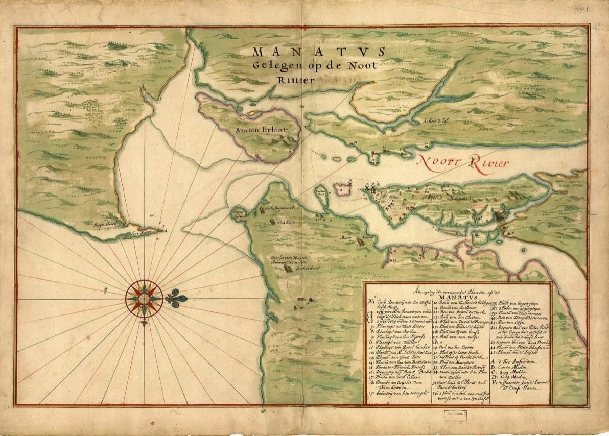
Historians do not rule out other origins either. Some archivists suggest he may have hailed from Germany or the Frisian islands.
Behind the name of one of New York’s most renowned boroughs lies an elusive personal history. The Bronx bears the name of a man whose biography was largely lost to seventeenth-century records. Swede, Dane, German, or native of the Frisian Islands—no definitive verdict exists to this day.
Perhaps this very ambiguity makes the story of Jonas Bronck so intriguing: while the man himself remains an enigma, his name has endured across centuries to define a vibrant borough of over a million people.
The Grand Concourse: Parisian Ambitions and Art Deco Splendor
In the toponymy of the Bronx, the Grand Concourse holds a place of distinction. Its full historic name is the Grand Boulevard and Concourse. The phrasing alone captures a late 19th-century vision: designing not just another city street, but a monumental thoroughfare conceived as the new spine for urban growth in this part of New York.
The word “Grand” was meant quite literally. Proposed in 1890 by French-born immigrant Louis Aloys Risse, the boulevard was modeled after the Champs-Élysées in Paris. Risse envisioned a New York counterpart—only considerably longer. The moniker “Grand Boulevard” was chosen to emphasize both the roadway’s sweeping dimensions and its prestige within the cityscape.
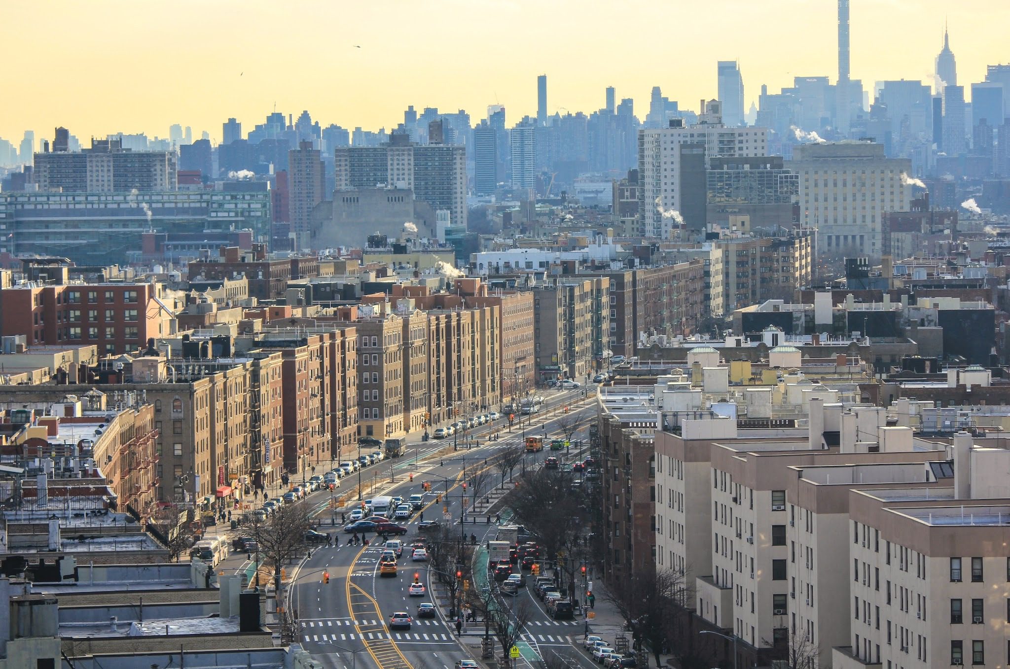
Equally telling is the second word: Concourse. In English, it denotes a gathering place or an expansive open space where streams of people and traffic converge. For Risse’s vision, the term was a perfect fit: the Grand Concourse was designed to unite different parts of the Bronx and seamlessly connect the borough to Manhattan.
The boulevard’s physical scale matched its grand name. Designed to be roughly 180 feet wide, it featured three separate roadways separated by tree-lined medians, wide sidewalks, and bicycle paths. In this sense, the toponym itself served as an exact blueprint of the urban master plan.
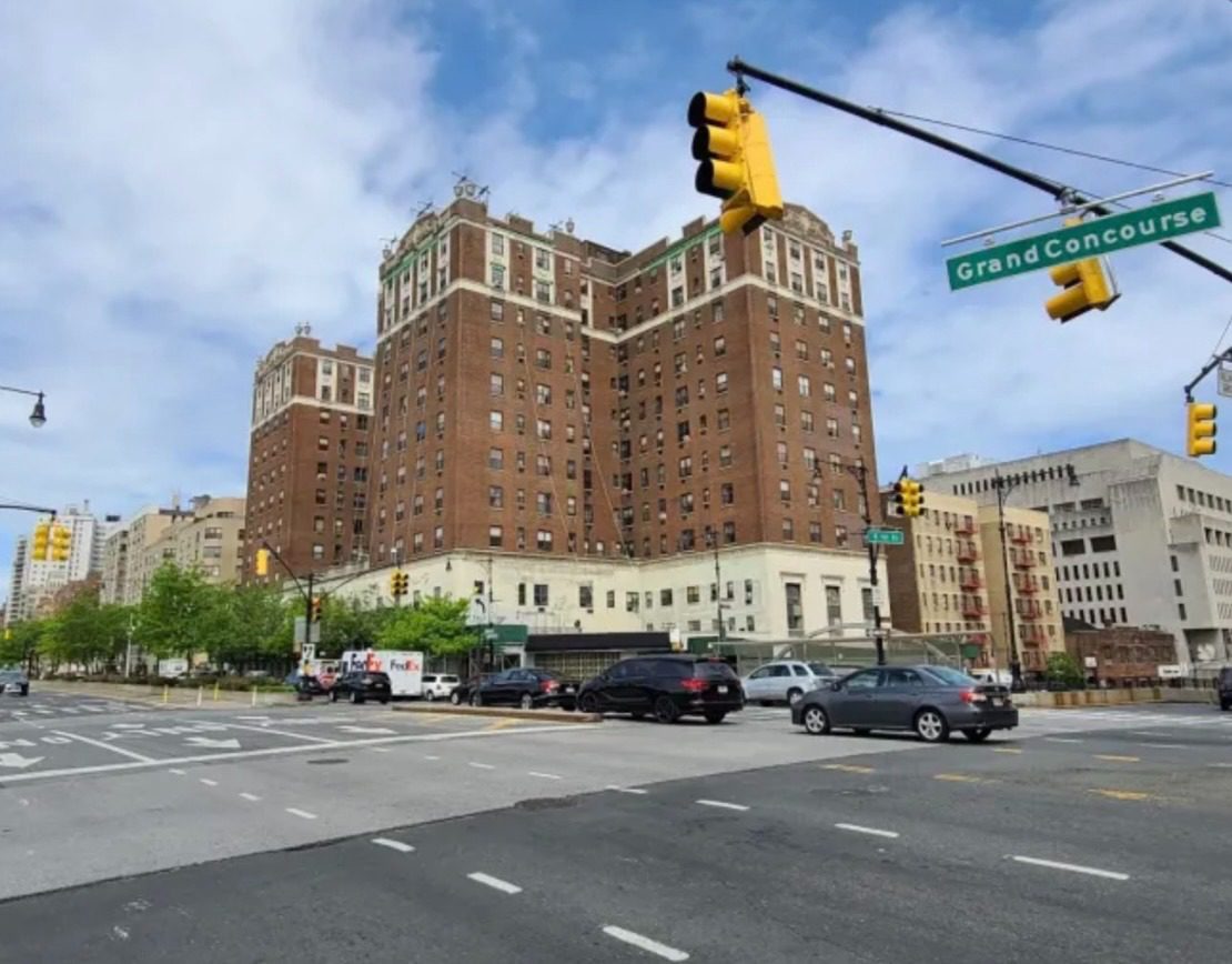
Over time, the Grand Concourse became the borough’s primary geographic and cultural axis. Its name became cemented not only on maps, but across residential complexes, institutions, subway stations, and entire neighborhoods. An extraordinary architectural ensemble took shape along its path—most notably celebrated for its concentration of Art Deco apartment buildings—with Yankee Stadium rising just a short walk away.
Consequently, the Grand Concourse is much more than just a famous Bronx thoroughfare. Its name reflects how late 19th-century planners envisioned the future of New York: a city of wide boulevards, grand architectural vistas, and bold connections between boroughs.
The Story of Kingsbridge: How the King’s Bridge Ended Up on Dry Land
Kingsbridge is a striking example of a place name that outlived the physical structure that inspired it. Today, streets, subway lines, and apartment buildings crisscross the neighborhood, but the original King’s Bridge—the King’s Bridge after which it was named—is long gone.
The story began in 1693. Frederick Philipse, lord of the local manor, constructed a modest wooden span across Spuyten Duyvil Creek. The crossing had immense practical value: it established a far more convenient overland route toward Manhattan. A royal patent authorized Philipse to name the structure the King’s Bridge and granted him the lucrative right to collect tolls.
Travelers were hardly thrilled with the toll, but alternatives were virtually nonexistent. For nearly a century, the bulk of overland traffic passed over the King’s Bridge. A settlement grew organically around the crossing, catering to teamsters, carters, and drovers who needed food, drink, and rest. The name of the bridge naturally transferred first to the hamlet and eventually came to designate the entire surrounding area.
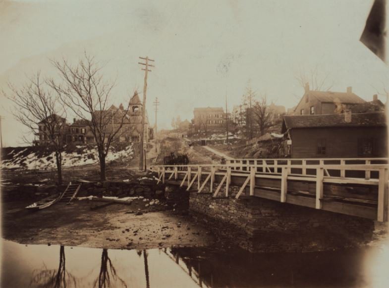
That is how the toponym Kingsbridge took on a life of its own. Even as political boundaries shifted over time—first falling under the jurisdiction of Yonkers, then formally annexed into New York City—the historic name held fast.
Throughout the 19th century, Kingsbridge evolved from a roadside crossroads into a thriving urban neighborhood. Community life clustered around what is now West 230th Street (then known as Riverdale Avenue). Growth was spurred by industrial ventures, such as the nearby Johnson Iron Works, as well as a station on the New York Central Railroad.
Another turning point arrived after 1907 with the completion of the IRT Broadway subway line. Fast transit accelerated urbanization, rapidly transforming the quiet rural outpost into a bustling city district.
Yet the most fascinating paradox in the history of Kingsbridge involves the creek itself. The King’s Bridge and its successors spanned this passage from 1693 until 1913. Shortly thereafter, that section of Spuyten Duyvil Creek was filled in. Around 1923, a new shipping canal was cut approximately a mile to the south, and the old creek bed vanished entirely from the cityscape.
With the waterway gone, the bridge lost its very reason for being. The King’s Bridge wound up stranded on dry land—where there was no longer any water left to cross.
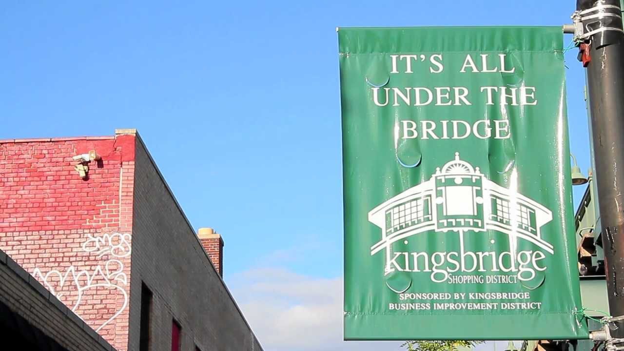
Yet the name outlived both bridge and stream. Today, the exact site of the historic crossing is commemorated by a bronze plaque on the Marble Hill Houses complex along Broadway near West 230th Street. It reads:
“100 feet to the northwest of this tablet stood the original King’s Bridge.”
The Evolution of NYC Street Signs: Borough Color Coding, Historic Markers, and Font Reform
The visual identity of New York street signs has undergone dramatic transformations. Between the 1910s and 1930s, for instance, city intersections were marked by distinctive blue porcelain-enamel signs featuring an arched or “humpback” profile.
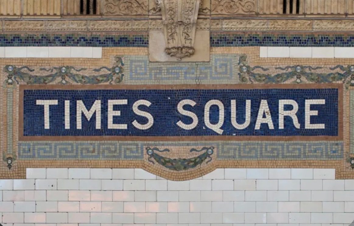
From the 1960s through the 1980s, the city adopted a practical color-coded system, assigning each borough its own distinct look for street name blades:
| Borough | Sign Color Scheme (1960s–1980s) |
| The Bronx | White text on a blue background |
| Manhattan | Black text on a yellow background, or green text on yellow |
| Queens | Blue text on a white background |
| Brooklyn | White text on a black background, or white text on green |
| Staten Island | Green text on a yellow background |
In 1989, to mark the 25th anniversary of the Landmarks Law, the city introduced terracotta-brown signs. These are reserved exclusively for officially designated historic districts. The color was an intentional design choice: it echoes the warm tones of New York’s iconic brownstone and limestone townhouses.
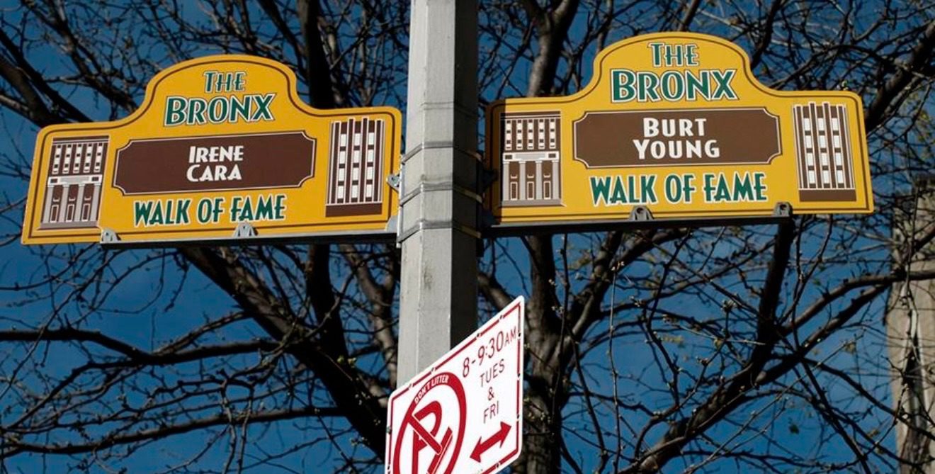
These signs do more than guide drivers and pedestrians; they announce to passersby that a street holds recognized historic significance. Often, secondary street signs are mounted beneath the official blade—commemorating local heroes, cultural figures, or neighborhood nicknames. In this way, official bureaucracy makes room for living community memory.
The story of New York’s street signage took another major turn with typography. In 2010, the city’s wayfinding underwent a sweeping overhaul driven by new federal road safety standards. To improve legibility and visibility, New York began replacing its iconic all-caps signage: street names shifted to mixed-case lettering (title case), and the classic Highway Gothic typeface gave way to a condensed version of Clearview.
The scale of the undertaking was staggering: the city had to replace more than 250,000 street name signs, at a total cost of roughly $27.6 million.
Every detail of the Bronx’s infrastructure acts as a living chronicle. From the unsolved European origins of Jonas Bronck to multi-million-dollar signage updates, each chapter has shaped the modern identity of New York City. The toponymy of the Bronx is much more than a tool for navigation; it captures the social, engineering, and cultural milestones of each era. Filled-in waterways and vanished bridges, grand boulevards and color-coded signs continue to tell pedestrians the ongoing story of America’s greatest metropolis.